
 Download plain text
Johan Ranie (1691)
Data quality
- The transcription has not been fully proofread and may contain OCR errors.
- Place names in the text have not been systematically marked.
- Marked places may not yet be linked to coordinates in the gazetteer.
- Illustrations may be incomplete or not yet reviewed.
- This volume has not been editorially approved for publication.
Hans Johannes (or Johan) Ranie (d. 1718) gradually worked his way up through the state administration during the final three decades of the seventeenth century, carrying out assignments - above all the production of mining maps - for both the Bureau of Mines (Bergskollegium) and the Land Survey (Lantmäteriet). He became land surveyor in 1676, assistant mine surveyor (Undermarkscheider) in 1678, and mine surveyor (Markschejder) in 1693. In 1692, he was appointed as Geschworner at the silver mine in Sala, and in 1710, he became head of the Sala mining district (Bergmästare).
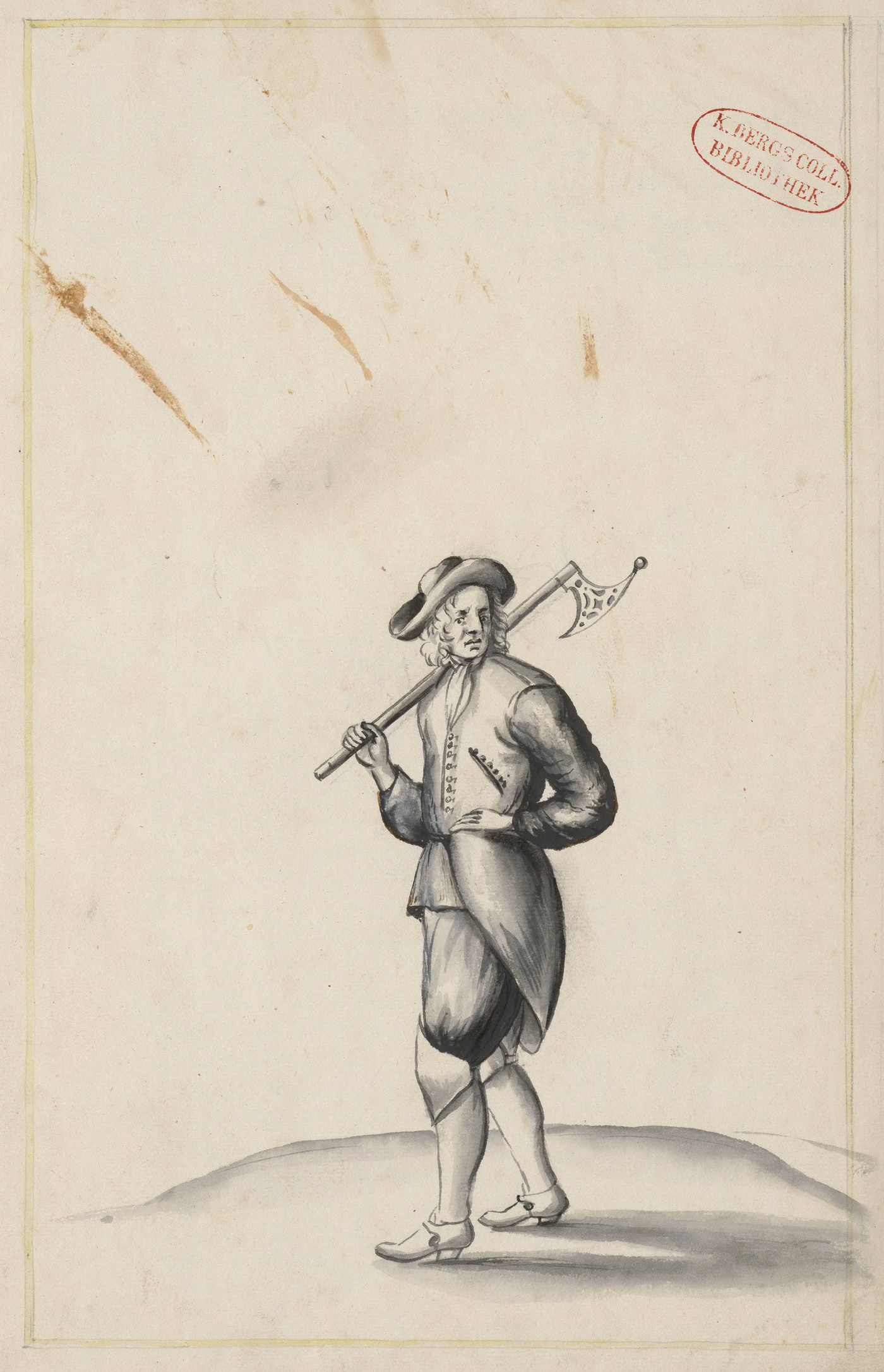
The travel report covers Ranie's study tour in the Saxon and Hungarian mining districts, made in 1691 on behalf of the Bureau of Mines. It contains numerous drawings and maps, clearly demonstrating Ranie's interest and skill in depicting mining landscapes.
For scholarly research dealing with Ranie, see:
Ehrensvärd, U. "Markscheideri - gruvmätning i äldre tider." Bebyggelsehistorisk tidskrift/Nordic Journal of Settlement History and Built Heritage 55 (2008): 15-27. https://www.diva-portal.org/smash/get/diva2:1533655/FULLTEXT01.pdf
Karsvall, O. "Land Surveying, Legibility, and State Power in Early Modern Sweden, 1628–1699." In M. Jansson & J. Orrje, Administration, Mobility, and Knowledge across Borders, 1500-1800: Swedish Statecraft in a European Context. London: Routledge, 2026 (forthcoming).